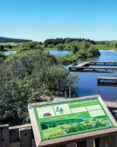
Because every day is different, and our form also varies, so we adapt our hikes according to our desires. One day, at the water's edge, another around Puy-en-Velay or not far from Mont Mézenc and then why not the 2-hour Sunday walk to do with the family. And that's good, there are 365 days in the year!
Top circuits departing from our villages
01
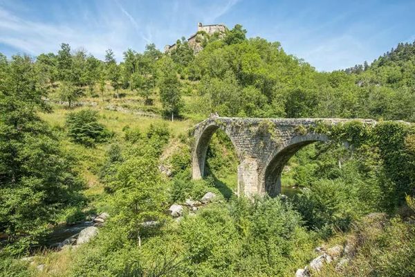
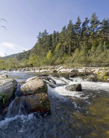
The Devil's Bridge
PR 666 – departing from Saint-André-de-Chalencon
A circuit to discover the famous legend that hovers over this XNUMXth century bridge which spans the Ance, located at the foot of the medieval castle of Chalencon.
- Duration 1h30
- Elevation: 186 m
- Distance: 5.50 km
02
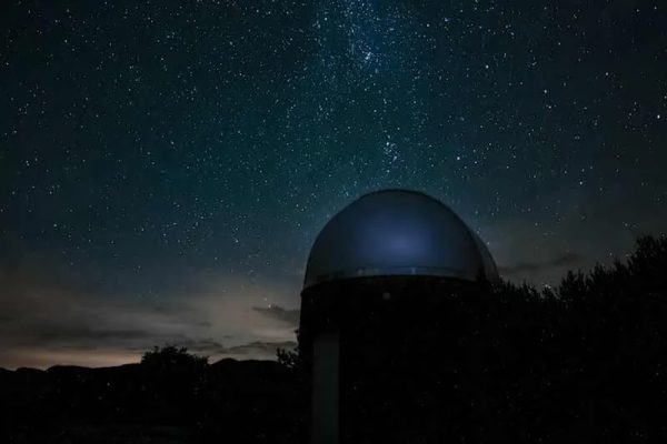
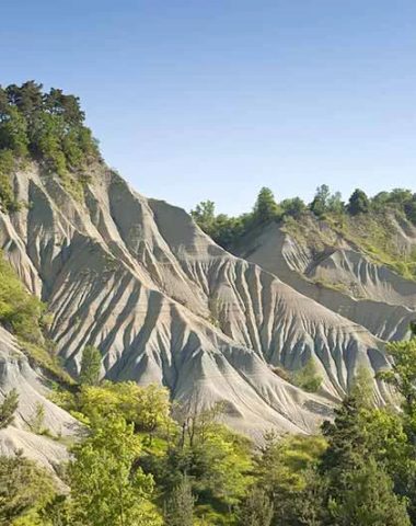
The trail of stars
A footpath that leads to the Betz observatory, the best spot for discovering the stars that light up the sky of Haute-Loire.
- Duration: 2 hour
- Elevation: 185 m
- Distance: 7,5 km
03
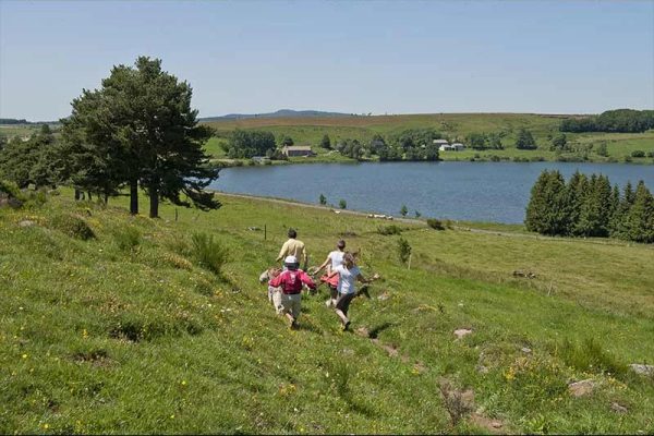
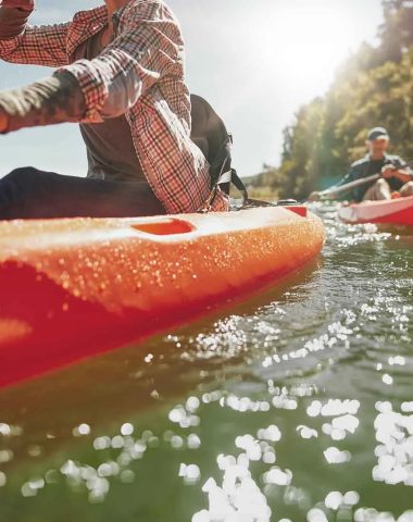
Saint-Front Lake
PR061 – A route that leads to Lac de Saint Front, the highest lake in Haute-Loire, at an altitude of 1 m and of volcanic origin.
- Duration: 4 hour
- Elevation: 344 m
- Distance: 14,4 km
04
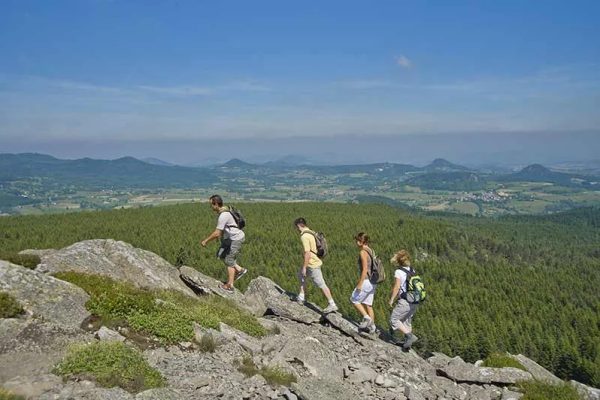
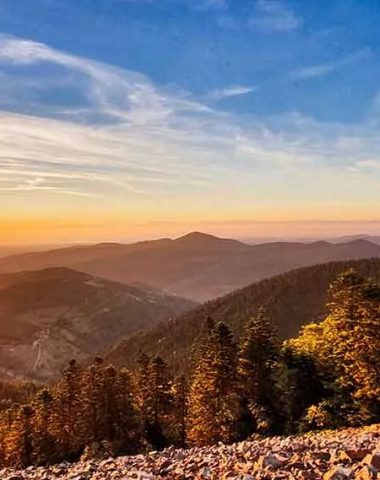
The Plateau Circuit
PR 039 – from Chambon-sur-Lignon
A hike that offers the most beautiful views of the sucs, the Pic du Lizieux and Mont Mézenc.
- Duration: 4h15
- Elevation: 389 m
- Distance: 16.6 km
Shared secrets "walk in Haute-Loire"
Let yourself be guided by the advice and good plans of Géraldine, Laure, Marie... A field team that likes to show you the most beautiful spots, unearth nuggets and test the latest novelties.


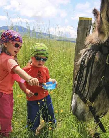
How to make our children walk ?
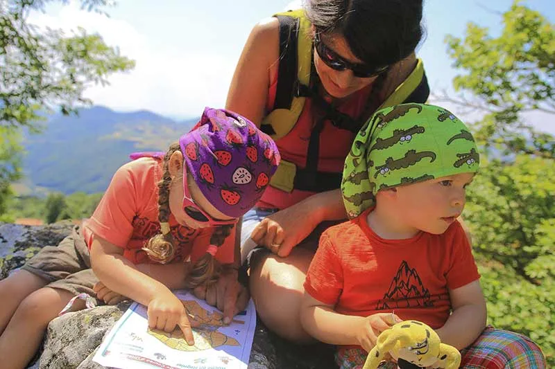
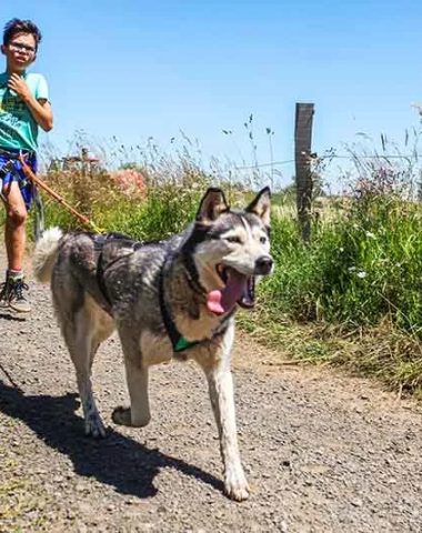
Difficult to make our pitchounes work? We have the solution! Low-altitude hikes for a maximum duration of 2 hours. The interpretation trails will satisfy the “Why” and the “How” of our budding curious. They'll play Sherlock Holmes as they investigate orienteering routes with pinch clips and compasses. Caresses and tickles guaranteed when the animal becomes their hiking companion, astride a donkey or towed by the adorable Husky dogs.
Fun hikes with animals or in search of treasures
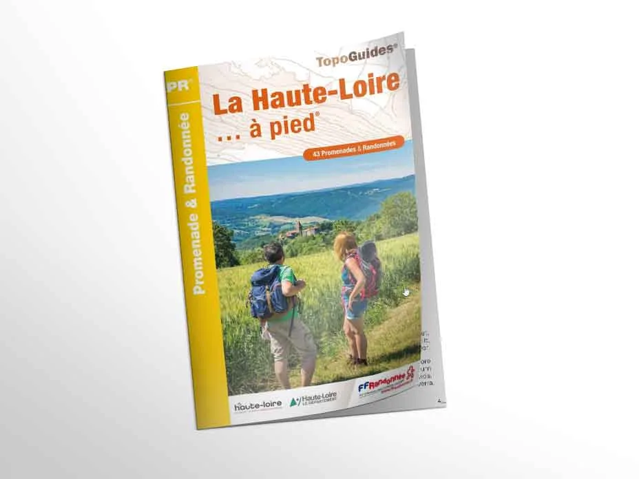
43 PR to go in the 43, here's a great idea. The must for marked PR, concentrated in a topo easy to slip into your hiking bag and which make you want to tie your shoes.
A problem encountered on a circuit?
Do not hesitate to inform us of a problem on a route: a lack of beaconing, an inaccessible path, an incident encountered along the way… By reporting it, volunteers and professionals will be able to improve the quality of our paths.