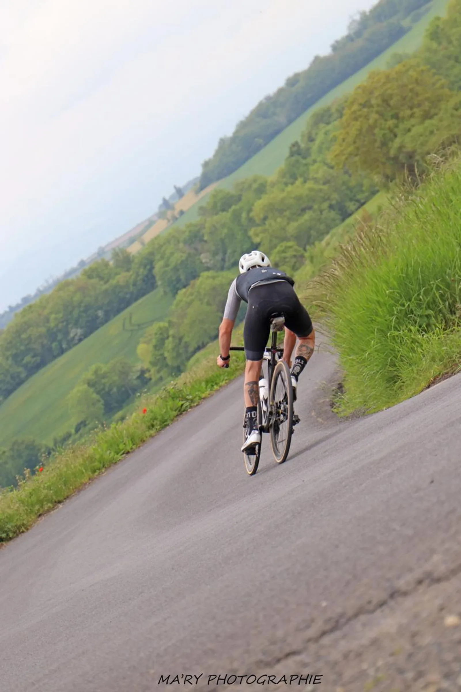
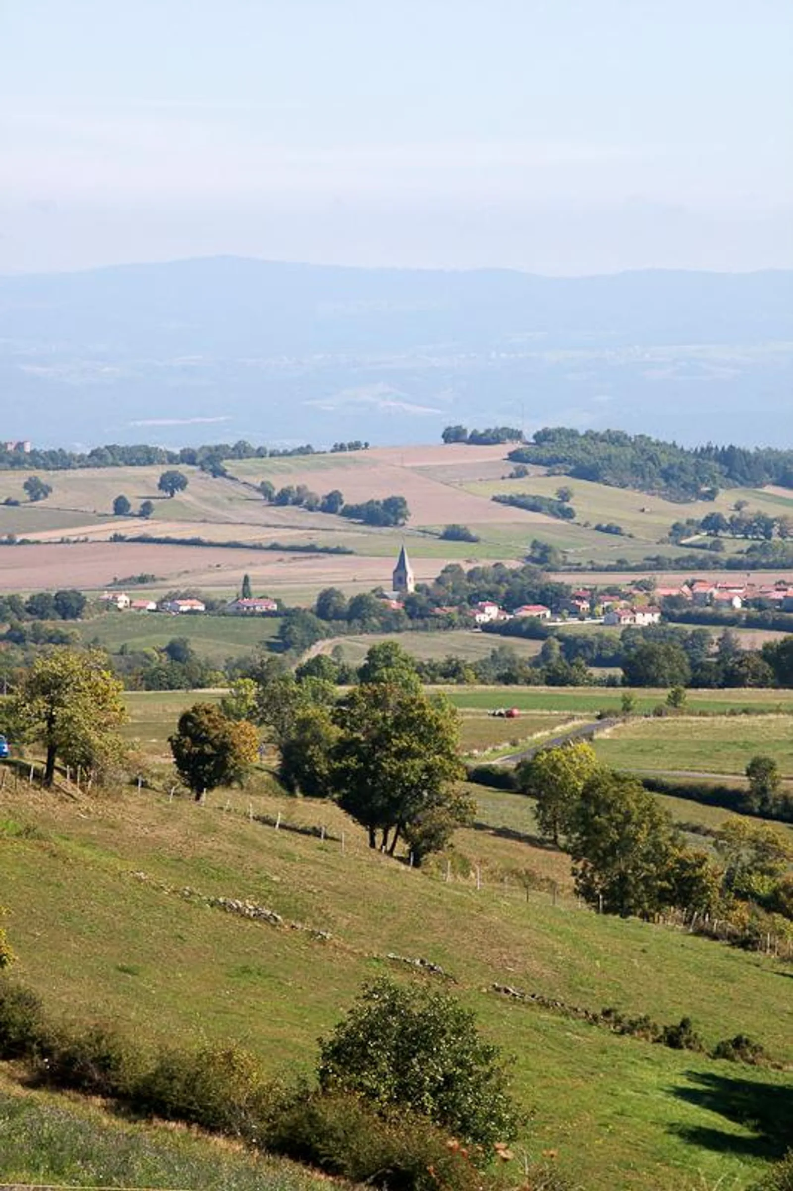
Difficult circuit due to the distance and the succession of numerous climbs, this circuit is reserved for beginners. It will allow you to discover a large part of the north west of Haute-Loire, in particular the Alagnon river near the village of Blesle, classified
Description
Departure from the Historic Center car park towards Lamothe. Pass the Limagne roundabout then the Lamothe bridge and turn left towards Lamothe. At the entrance to the village turn right towards Champagnac le Vieux, then turn right 1 km later towards Chaniat
Cross the town of Chaniat and continue on the main road (D126) until the intersection with the D 56.
Take the D 56 on the right and go down to La Vernède. Be careful, partially dangerous descent.
At La Vernède, turn right towards Javaugues, on the D19.
After the village of Javaugues, turn left towards Frugières le Pin. Cross the Chariol then take the D20 on the left until you reach the entrance to Paulhaguet, then the D4 and at the fire station turn right until you reach Le Marcet.
At Marcet, turn right onto the N102 for 300 meters (be careful), then left towards Salzuit. Follow the D413 then turn left onto the D41 towards Lavoûte-Chilhac
Follow the D4 until Lavoûte-Chilhac
At Lavoûte-Chilhac, cross the bridge spanning the Allier, turn right onto the D585 for 9 km via Villeneuve d'Allier
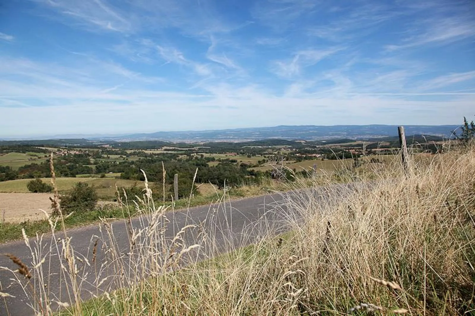
In the village of La Vialette, turn left onto the Montée de Jazindes (D171). The climb is quite difficult with a portion of more than 8%. Then go down to the town of Saint-Just near Brioude. Partially dangerous descent.
In Saint-Just-près-Brioude, take the D171 opposite the crossroads to the town of Talairat.
In Talairat, turn right onto the D12, then turn left onto the D 171 towards Saint-Beauzire. Cross the RD 588 (be careful). Follow the D17 to the village of Batuzat then turn left and follow the road to La Vialette then Le Bos Bomparent. Continue the road, then cross the D588 (be careful) to the town of Saint-Beauzire.
Turn left and follow the road until the stop sign. At the stop sign, turn right towards Lubilhac. Climb at more than 6% over 2,5 km.
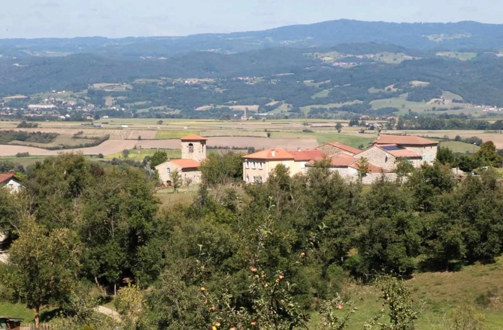
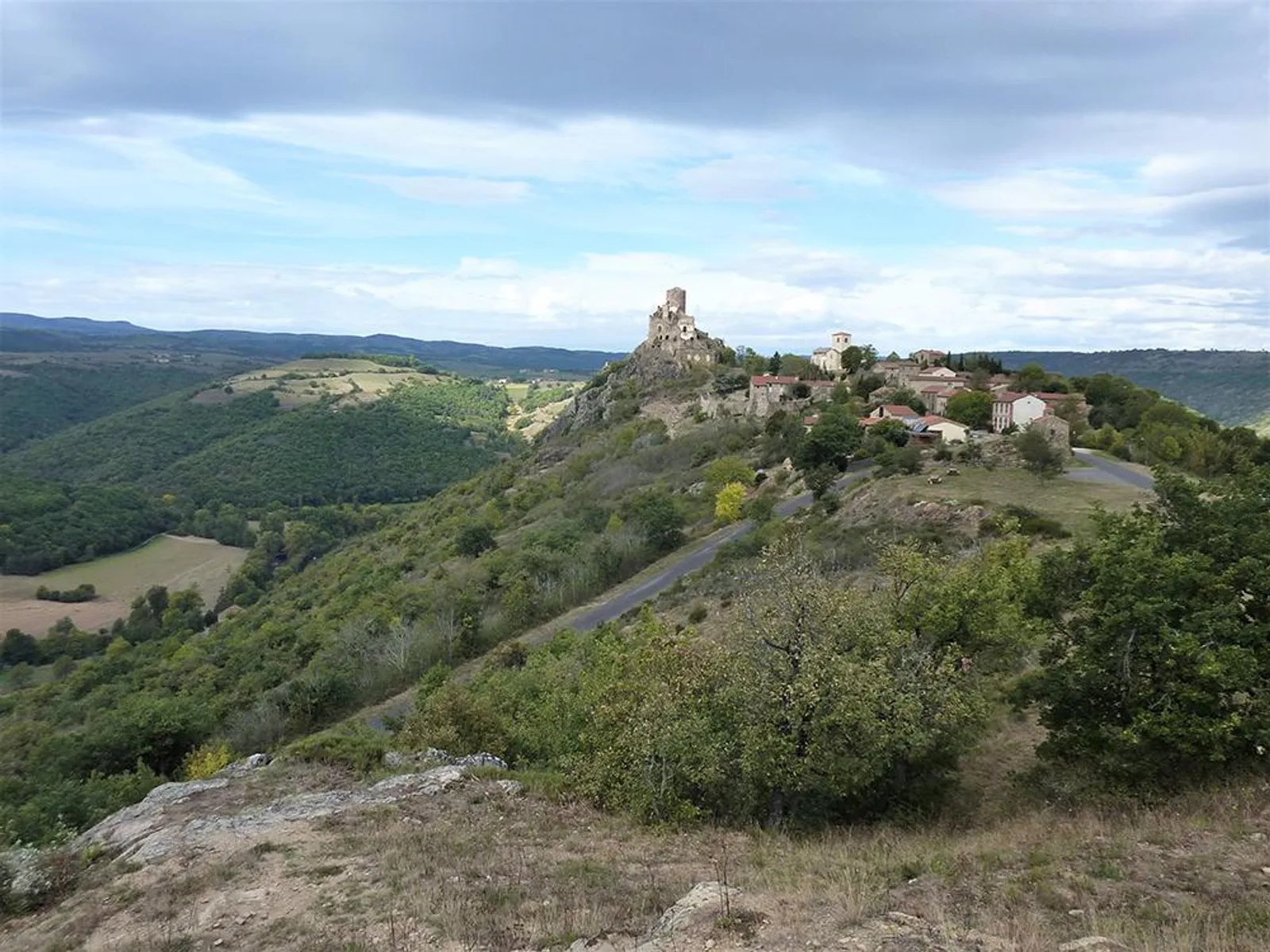
Follow the D17 then the D321 towards Massiac. Arriving in Massiac, turn right then right again on the D 909 towards Clermont-Ferrand. At the Massiac exit, continue on the D 909. You will pass near Grenier-Montgon and Blesle.
At a place called Lanau, turn right towards Léotoing. Be careful, difficult climb to the town. There, follow the D655. At the junction with the D653, take the stop sign opposite then cross the villages of Recoules and Besse
In Besse, turn immediately right then left and right again, pass under the A 75 motorway and continue straight on.
In Gizac, take the opposite stop sign, direction St Géron, pass the water bottling plant of the same name and go up to the village. Warning: short but difficult climb with a gradient of more than 12%. Take a left at the top.
After the cemetery, turn left at the stop sign onto the D19. Follow it to Brioude, passing through the villages of La Roche and Lauriat.
Pass Brioude station and, at the give way, continue towards Clermont Ferrand then, at the roundabout, turn right, pass in front of the cemetery then take the third right, avenue Pierre Mendes France, pass in front of the sports hall and at the roundabout take immediately right to return to the Center-Historique parking lot
Cross the town of Chaniat and continue on the main road (D126) until the intersection with the D 56.
Take the D 56 on the right and go down to La Vernède. Be careful, partially dangerous descent.
At La Vernède, turn right towards Javaugues, on the D19.
After the village of Javaugues, turn left towards Frugières le Pin. Cross the Chariol then take the D20 on the left until you reach the entrance to Paulhaguet, then the D4 and at the fire station turn right until you reach Le Marcet.
At Marcet, turn right onto the N102 for 300 meters (be careful), then left towards Salzuit. Follow the D413 then turn left onto the D41 towards Lavoûte-Chilhac
Follow the D4 until Lavoûte-Chilhac
At Lavoûte-Chilhac, cross the bridge spanning the Allier, turn right onto the D585 for 9 km via Villeneuve d'Allier
In the village of La Vialette, turn left onto the Montée de Jazindes (D171). The climb is quite difficult with a portion of more than 8%. Then go down to the town of Saint-Just near Brioude. Partially dangerous descent.
In Saint-Just-près-Brioude, take the D171 opposite the crossroads to the town of Talairat.
In Talairat, turn right onto the D12, then turn left onto the D 171 towards Saint-Beauzire. Cross the RD 588 (be careful). Follow the D17 to the village of Batuzat then turn left and follow the road to La Vialette then Le Bos Bomparent. Continue the road, then cross the D588 (be careful) to the town of Saint-Beauzire.
Turn left and follow the road until the stop sign. At the stop sign, turn right towards Lubilhac. Climb at more than 6% over 2,5 km.
Follow the D17 then the D321 towards Massiac. Arriving in Massiac, turn right then right again on the D 909 towards Clermont-Ferrand. At the Massiac exit, continue on the D 909. You will pass near Grenier-Montgon and Blesle.
At a place called Lanau, turn right towards Léotoing. Be careful, difficult climb to the town. There, follow the D655. At the junction with the D653, take the stop sign opposite then cross the villages of Recoules and Besse
In Besse, turn immediately right then left and right again, pass under the A 75 motorway and continue straight on.
In Gizac, take the opposite stop sign, direction St Géron, pass the water bottling plant of the same name and go up to the village. Warning: short but difficult climb with a gradient of more than 12%. Take a left at the top.
After the cemetery, turn left at the stop sign onto the D19. Follow it to Brioude, passing through the villages of La Roche and Lauriat.
Pass Brioude station and, at the give way, continue towards Clermont Ferrand then, at the roundabout, turn right, pass in front of the cemetery then take the third right, avenue Pierre Mendes France, pass in front of the sports hall and at the roundabout take immediately right to return to the Center-Historique parking lot