The GR 470 invites you to go up the Allier valley from Brioude to its sources in Lozère. You will thus discover wild and varied landscapes, from the bottom of the valley to the plateaus of Gévaudan and Velay.
Description
Rando-sheets and mobile application for free download at www.gr470-gorgesallier.com
The stages of Sources and Gorges of the Allier GR470:
Itinerary of 190 km in 11 stages, distributed as follows:
Stage 1 from Brioude to Villeneuve d'Allier, 20.6 km (approx. 5h30 walk)
Stage 2 from Villeneuve d'Allier to Lavoûte-Chilhac, 13.8 km (approx. 4h walk)
Stage 3 from Lavoûte-Chilhac to Langeac, 18.4 km (approx. 5h walk)
Stage 4 from Langeac to Prades, 18.5 km (approx. 5h walk)
Stage 5 from Prades to Monistrol d'Allier, 12.4 km (approx. 3h30 walk)
Stage 6 from Monistrol d'Allier to Pont d'Alleyras, 17.6 km (approx. 5h walk)
Stage 7 from Pont d'Alleyras to Chapeauroux, 22.2 km (approx. 6h walk)
Stage 8 from Chapeauroux to Landos, 12.7 km (approx. 3h15 walk)
Stage 9 from Landos to Langogne, 20 km (approx. 5h walk)
Stage 10 from Langogne to Cheylard-l'Évêque, 17.5 km (approx. 4h20 walk)
Stage 11 from Cheylard-l'Évêque to La Bastide-Puylaurent, 22.5 km (approx. 6h30 walk)
Prologue from Auzon, on the GR300 trail:
Stage 0 from Auzon to Brioude, 17.2 km (approx. 5h walk)
Variant via the Margeride plateau from Prades:
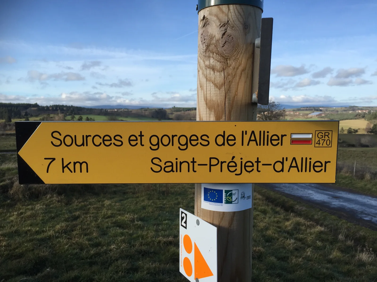
Stage 12 from Prades to Saint-Préjet-d'Allier, 21.4 km (approx. 6h walk)
Stage 13 from Saint-Préjet-d'Allier to Grandrieu, 18.2 km (approx. 4h 50 walk)
Stage 14 from Grandrieu to Langogne, 30 km (approx. 8h walk)
The stages of Sources and Gorges of the Allier GR470:
Itinerary of 190 km in 11 stages, distributed as follows:
Stage 1 from Brioude to Villeneuve d'Allier, 20.6 km (approx. 5h30 walk)
Stage 2 from Villeneuve d'Allier to Lavoûte-Chilhac, 13.8 km (approx. 4h walk)
Stage 3 from Lavoûte-Chilhac to Langeac, 18.4 km (approx. 5h walk)
Stage 4 from Langeac to Prades, 18.5 km (approx. 5h walk)
Stage 5 from Prades to Monistrol d'Allier, 12.4 km (approx. 3h30 walk)
Stage 6 from Monistrol d'Allier to Pont d'Alleyras, 17.6 km (approx. 5h walk)
Stage 7 from Pont d'Alleyras to Chapeauroux, 22.2 km (approx. 6h walk)
Stage 8 from Chapeauroux to Landos, 12.7 km (approx. 3h15 walk)
Stage 9 from Landos to Langogne, 20 km (approx. 5h walk)
Stage 10 from Langogne to Cheylard-l'Évêque, 17.5 km (approx. 4h20 walk)
Stage 11 from Cheylard-l'Évêque to La Bastide-Puylaurent, 22.5 km (approx. 6h30 walk)
Prologue from Auzon, on the GR300 trail:
Stage 0 from Auzon to Brioude, 17.2 km (approx. 5h walk)
Variant via the Margeride plateau from Prades:
Stage 12 from Prades to Saint-Préjet-d'Allier, 21.4 km (approx. 6h walk)
Stage 13 from Saint-Préjet-d'Allier to Grandrieu, 18.2 km (approx. 4h 50 walk)
Stage 14 from Grandrieu to Langogne, 30 km (approx. 8h walk)