PR 039 – Le circuit du plateau
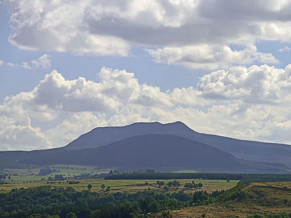
Discover the Plateau des Justes with this hike which will take you in front of very beautiful panoramas on the juices, the Pic du Lizieux and the Mont Mézenc.
Description
1- Descend between the trees. Along the Lignon. At a fork, turn right. Ignore two paths on the left then cross a clearing.
2- Continue straight ahead. In front of a stone building, turn right. Shortly after follow the path on the left. At the junction, continue left. Turn left onto the road. After 30 m, turn right. Cross a stream and go up on the left.
3- A little higher, go to the left. At the crossroads, go straight. Take a path on the right and pass near a house. Follow the path on the left. Further on, continue straight on. In the clearing, turn right. At the Cumine houses, take the road for 160 m.
4- Turn right and immediately left. At the crossroads, turn left, then do the same on the road. Ignore a road on the right and, further up, continue to the right. At the crossroads, cross the road and continue straight on to the hamlet of Laroue.
5- Cross it straight on, then take a grassy path on the right. Further on, continue on a path then on the road. At the crossroads, go opposite on the D500 for 150 m. Turn left and, after 270 m, leave the road on the left. Go straight until you reach a road. Take it to the right and immediately go down to the left.
6- At the hamlet, turn left, then ignore two roads on the right. At the next fork, turn right. Near the Boyer mill, climb opposite. Go up the path along the greenhouses, then enter the woods. Cross the D500 opposite and join another road straight on. Take it straight on for 1 km.
7- At the bend, leave it straight ahead on a wide sandy path. Follow it straight along the forest.
8- Head right. At the end of the forest, continue on the right. After the Maison des Basties, turn left onto the road. At the crossroads, turn left onto the D7. After 350 m, leave it on the right. At a fork, turn left. Shortly after, go straight. Walk past the cemetery and follow the road on the left until you reach the car park.
On my way :
– Moulin de Boyer: Flour mill and old spinning mill
– Panoramas of the Plateau, Volamont, Lizieux and Mézenc
-Protestant graves in the Basties
In the region:
– Le Chambon-sur-Lignon: place of memory, plaque of the Righteous, contemporary art space.
– Le Mazet-Saint-Voy: botanical garden, clog-making hall, Saint-Voy chapel (11th century)
– Pic du Lizieux (1388m): panorama and orientation table.
– Tence: tourist train, chapel of the Penitents.
UTM coordinates: 31T 0602389 4990150