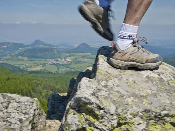
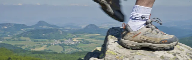
All the charm of a mountainous and wooded landscape will guide you to the top of the Grand Felletin. At the orientation table, the view opens onto a breathtaking panorama: the Monts du Pilat, Mont Blanc, the Vanoise park and the Ecrins massif.
Description
1 – Take the D 441 towards Sétoux for 160m then take a path to the left. Enter the forest and after a clearing continue to the left on a wide path. Go through the woods then on the way out, turn right. Follow the relief by this wide path.
2 – Continue to the right, climbing slightly. Cross a stream and climb straight on. The path flattens out; cross two intersections straight on. At the exit of the forest, ignore a path veering to the left.
3 – Near a house, turn left. Take the road on the left until you reach the hamlet.
4 – After a house, turn right and immediately turn left into the forest on a wide path. Follow it straight. At the intersection, after a clearing, continue straight. After a second clearing, the path passes over a stream and enters the forest.
5 – Turn left onto a wide descending path. A little further, near a house, go down left onto a wide path. Follow it to Clavas.
6 – Go right and cross the square straight. A little higher, near a house, turn right. Cross a stream and climb straight. At the Charousse pass, without crossing the road, turn right onto a wide path.
7 – At a first junction turn right. Immediately continue left then at the next continue left. Follow this wide path then in a clearing ignore a path on the right and go straight until you reach a fork.
8 – Go up on the left hand. Higher, at the crossroads, continue straight. At the panorama, turn right then at the cross, turn left. Go straight down to a fork.
9 – Fork to the right and lower down, in the clearing turn right. Cross the road and immediately turn right. In the hamlet, take the road to the right and after 40m, turn left onto a path. Lower down, turn right, pass near a ruin.
10 – At the crossroads, go straight. Go down slightly and, immediately, at the fork, take your right hand. Follow this path to exit the forest. Continue straight ahead until you reach the road. Take it straight on to reach the start.
On my way:
Saint Julien Molhesabathe: church and a stained glass window signed “Borie”. Clavas: Cistercian site with the chapel, its listed altarpiece and its medieval garden.
The factory: old mill.
Grand Felletin summit: orientation table, panorama of the Alps.
In the region:
Saint Julien Molhesabathe: interpretation circuit along the water.
UTM coordinates: 31 T 0612034 5004579