Between Reymonds woods and Crouzilhac forest, your gaze will extend as far as the eye can see over the panoramas from the village-belvedere of Mas-de-Tence!
Description
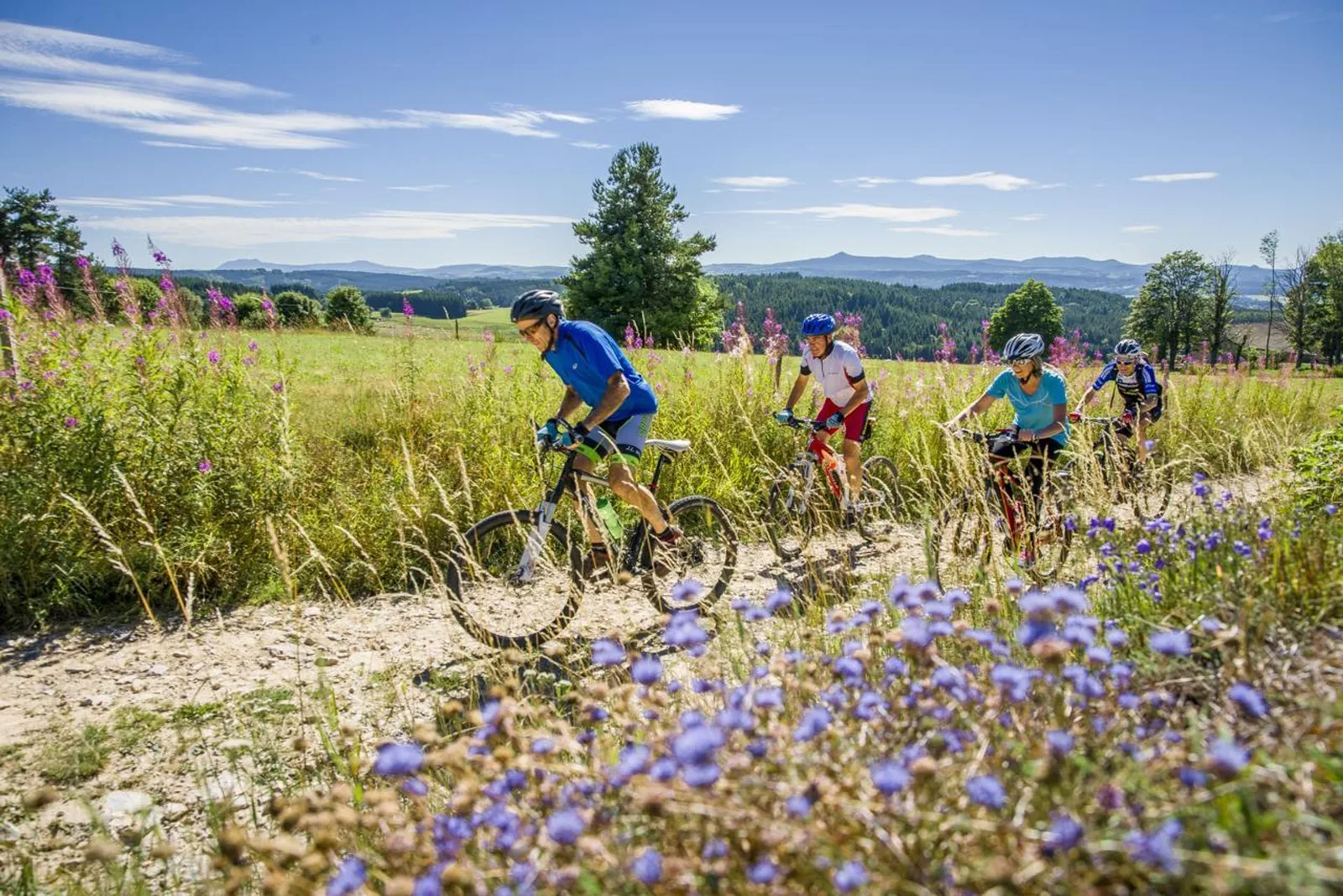
The first 9 kilometers are the hardest uphill to the Côte des Beaux (altitude 1070 m). Then it alternates small technical climbs and descents to the top of the Crouzilhac woods. The end of the route is downhill with technical sections up to the village of Tence. Enjoy the panorama in the village of Mas-de-Tence from the orientation table: the landscape of volcanic juices is revealed!