Via Fluvia – Yssingeaux – Raucoules
Entire route 20,5 km – cumulative positive elevation 277m, cumulative negative elevation 250m
DEPARTURE :
– In Yssingeaux, Antreuil car park, Bus Station
– In Raucoules, Oumey station, station car park
DEPARTURE :
– In Yssingeaux, Antreuil car park, Bus Station
– In Raucoules, Oumey station, station car park
Portrait
The association of the Haute-Loire Hiking Committee has been asserting for 20 years its position in favor of the practice and development of hiking in Haute-Loire. Our business is divided into two major axes of development:
• The tourist and cultural development of the Haute-Loire through hiking
• The associative and sports development of hiking in Haute-Loire
We promote hiking in Haute-Loire in compliance with the hiker's charter which aims to preserve nature and protected areas.
https://www.rando-hauteloire.fr/
https://www.chemin-rando-hauteloire.fr/?categories=T6&categories=T5
https://www.ffrandonnee.fr/Media/Default/Documents/randonner/charte-du-randonneur-ffrandonnee.pdf
Alert
VIGILENCE // YSSINGEAUX CROSSING
In the direction of Lavoûte-sur-Loire -> Riotord
After following the RN88 for a few hundred meters, take rue des Granges.
You will come to a junction with rue Louis Pasteur, cross the street to pass opposite, on Avenue de Dunkerque/ la Gare. The Via Fluvia then swerves slightly to the left (passage behind houses).
Take avenue de Dunkerque to the roundabout. At the roundabout, take the second exit (street in front of you) a protected passage takes you around it on the left to join Via Fluvia on Chemin de la Galoche.
At the second roundabout (near Lidl), continue straight until the third roundabout. At this third roundabout, a protected passage leads you around it on the left (in front of Euromaster) to reach Avenue de la Guide. You will follow this avenue on the left side, on a dedicated lane (watch out for road crossings) and pass between the Kripton Club (discotheque) and the Petite Auberge (restaurant). A few meters further down, you will arrive at the “La Guide” shopping area where you will have to cross at the protected passage to join the continuation of the Via Fluvia which continues opposite.
In the direction of Riotord -> Lavoûte-sur-Loire
In Yssingeaux, you will arrive at the “La Guide” commercial area where you will have to cross at the protected passage to join the continuation of the Via Fluvia which continues opposite, on the left, Avenue de la Guide.
Continue straight, staying on the protected lane on the right. You will pass between the Kripton Club (discotheque) and the Petite Auberge (restaurant). At the first roundabout, take the second exit (a protected cycle lane is provided on the right). Cross the three protected passages to join the Via Fluvia, Chemin de la Galoche.
Continue straight until the second roundabout (near Lidl), take the second exit (opposite).
Continue straight until the third roundabout. Take the second exit (opposite) via the protected lane on the right. You will arrive at Avenue de Dunkerque. Continue on this street, the Via Fluvia then swerves slightly to the right (passage behind the houses) then take the Avenue. You will come to a junction with rue Louis Pasteur. Cross over to take Rue des Granges. Further on, turn right at the fork to leave rue des Granges and follow the RN88.
Description
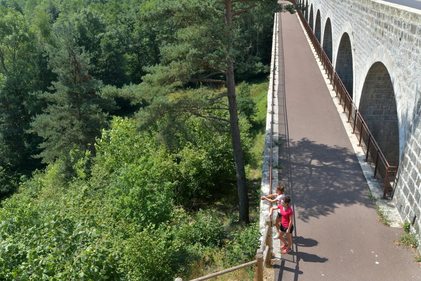
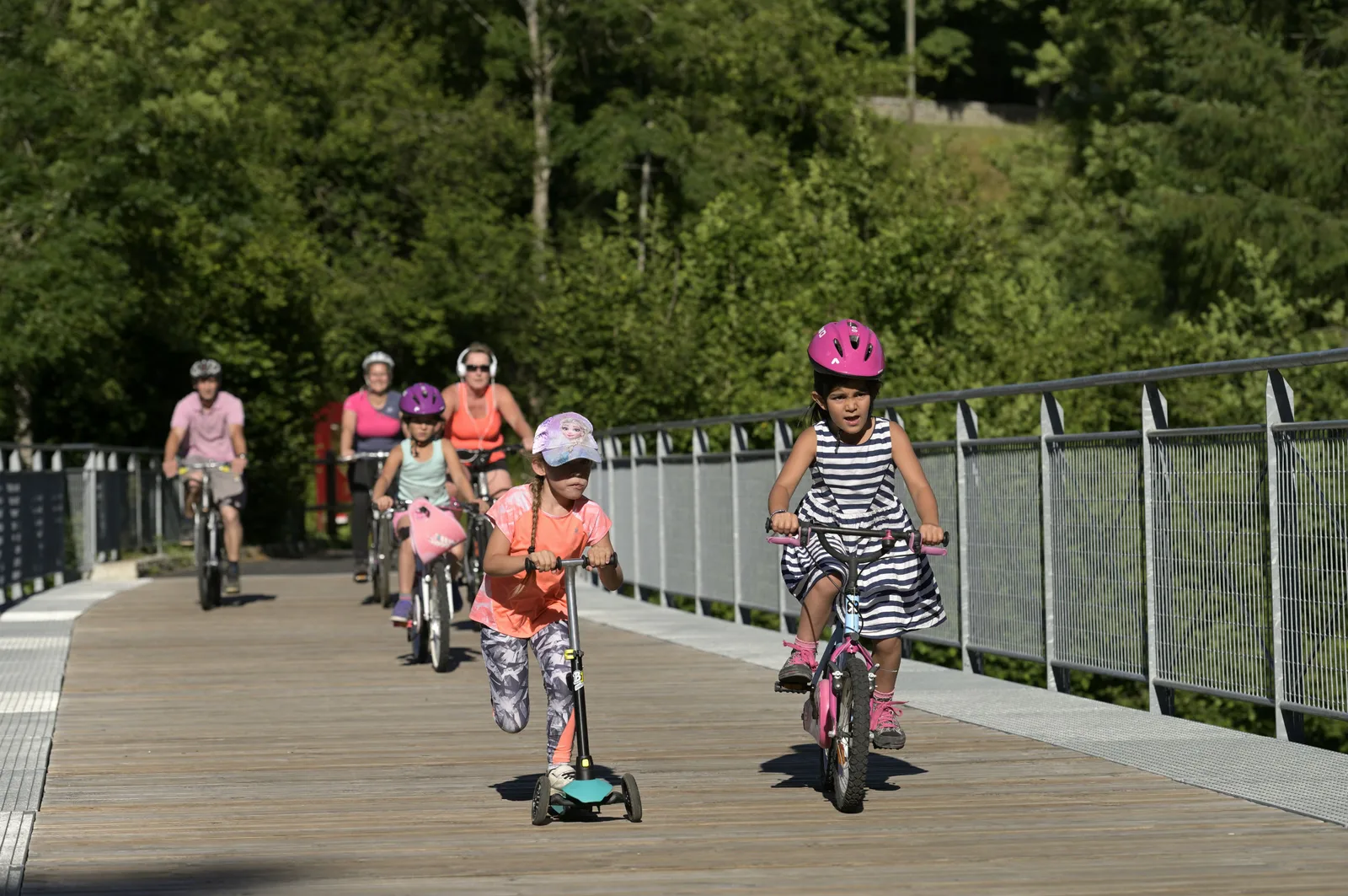
From Yssingeaux to Raucoules, asphalt surfacing over the entire route, alternating cycle route & greenway. You will find picnic areas, benches and toilets along the route.
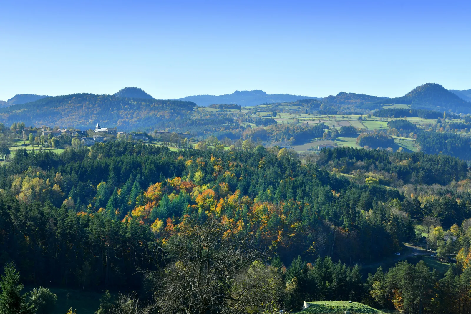
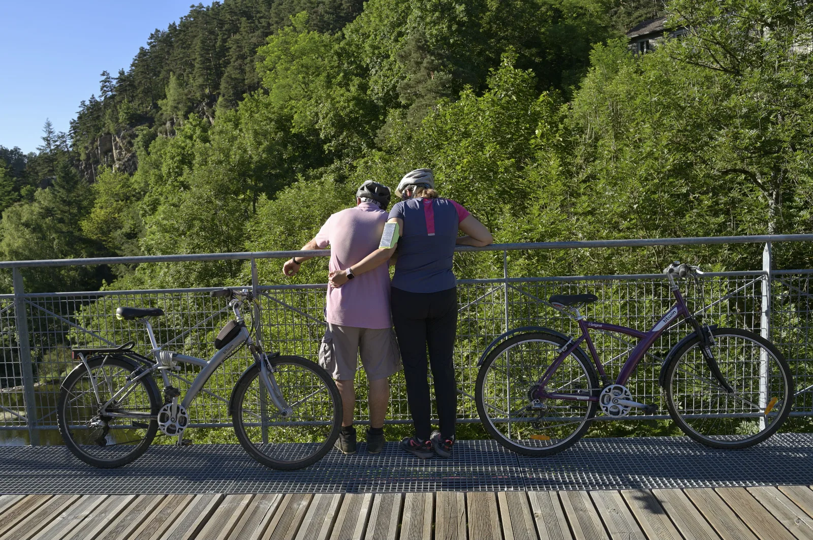
Enter the unusual and unique domain of Les Sucs. These ancient dormant volcanoes in the shape of a dome, peak or sugar loaf surprise the eye at every turn of the wheel. The Via Fluvia, Theater version of the mini-volcanoes, are open landscapes, with gentle relief, between plateau, rivers and rounded shapes of the Sucs.
Our favorites…
• Yssingelais market (Thursday morning)
• The Cluniac Priory of Grazac
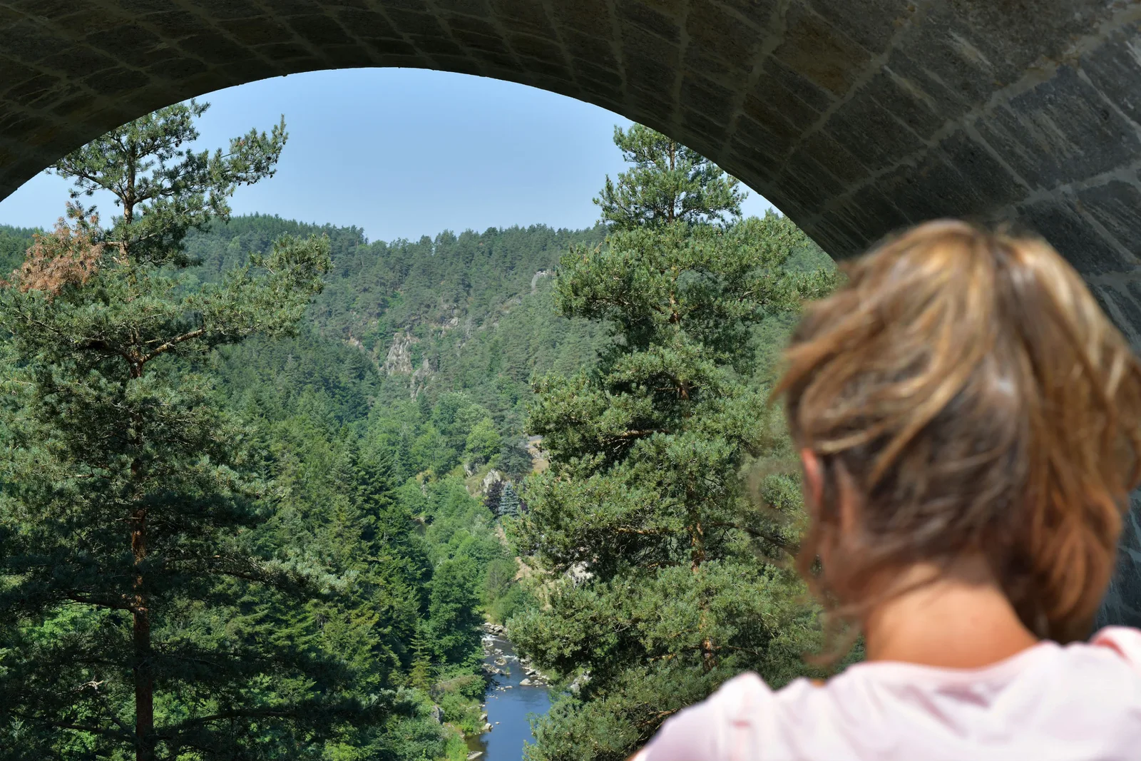
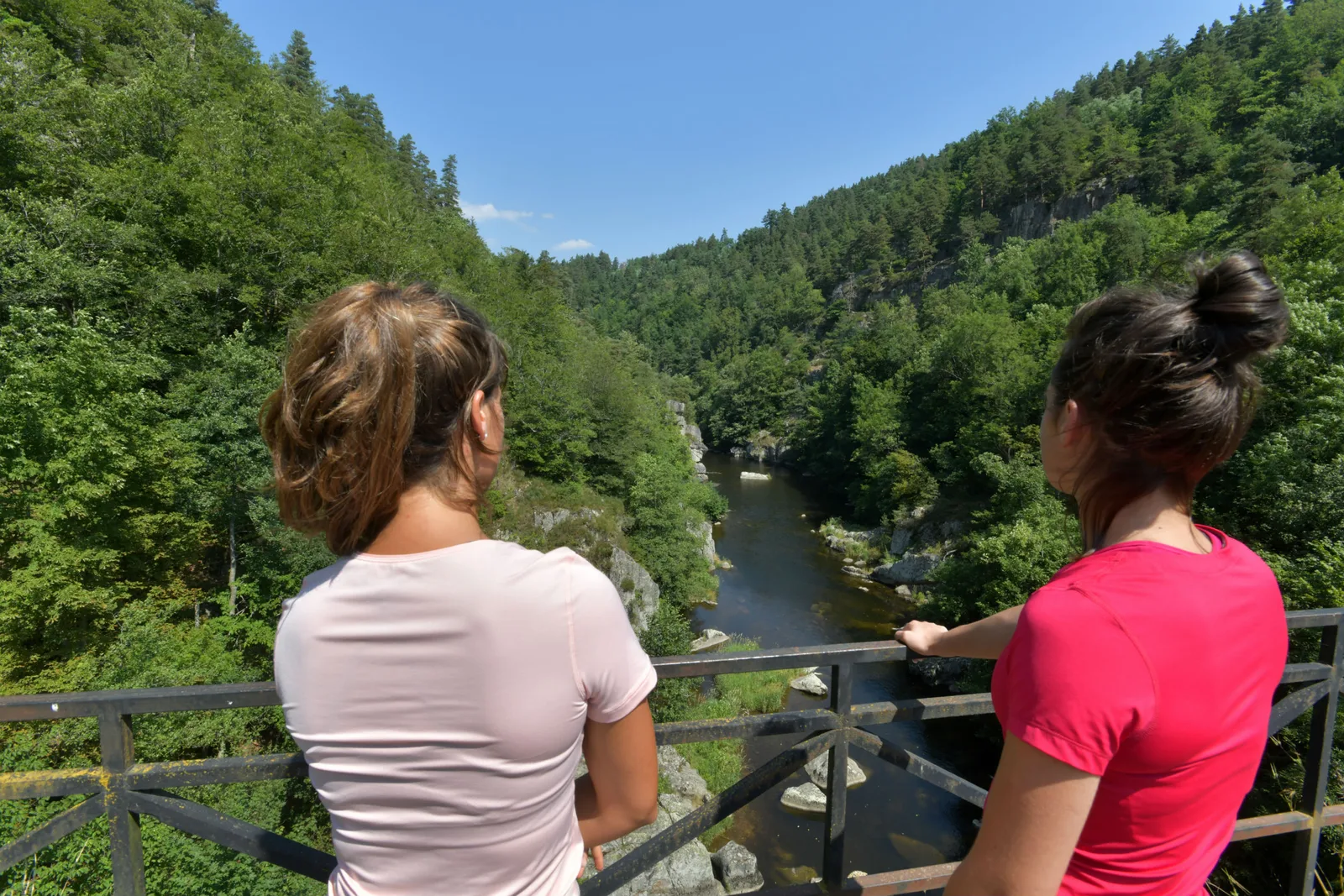
• Himalayan footbridge of the Gorges du Lignon in Grazac
• The Church of Lapte, also known as the "Balcony of Velay"
• Lac de Lavalette Leisure Center
Take a break !
• Yssingeaux – 835m above sea level
• Grazac – 792m above sea level
• Lapte – 849m above sea level
• Verne – 880m above sea level
• Raucoules – Oumey station – 863m above sea level
Enter the unusual and unique domain of Les Sucs. These ancient dormant volcanoes in the shape of a dome, peak or sugar loaf surprise the eye at every turn of the wheel. The Via Fluvia, Theater version of the mini-volcanoes, are open landscapes, with gentle relief, between plateau, rivers and rounded shapes of the Sucs.
Our favorites…
• Yssingelais market (Thursday morning)
• The Cluniac Priory of Grazac
• Himalayan footbridge of the Gorges du Lignon in Grazac
• The Church of Lapte, also known as the "Balcony of Velay"
• Lac de Lavalette Leisure Center
Take a break !
• Yssingeaux – 835m above sea level
• Grazac – 792m above sea level
• Lapte – 849m above sea level
• Verne – 880m above sea level
• Raucoules – Oumey station – 863m above sea level